Log in
All resources
Create a design
107 Free Images of 1814 Maps
maps in the library of congress
maps by john thomson
den danske hærs historie til nutiden og den norske hærs historie indtil 1814
maps from the mechanical curator collection
english-language maps
a voyage to abyssinia, and travels into the interior of that country, executed under the orders of the british government in the years 1809 & 1810
john outhett
alexander macpherson (engraver)
rivington (publishers)
maps from the mechanical curator collection available to georeference
a voyage to terra australis
1814 engravings
self-published work
pages with maps
james william edmund doyle
owen bailey
english-language maps of europe
maps by john thomson
maps by john thomson
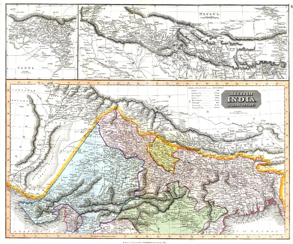
old maps of nepal
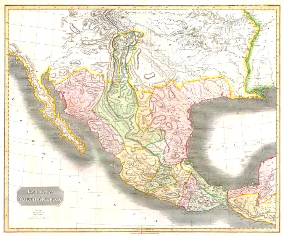
1810s maps of mexico
1814 in mexico
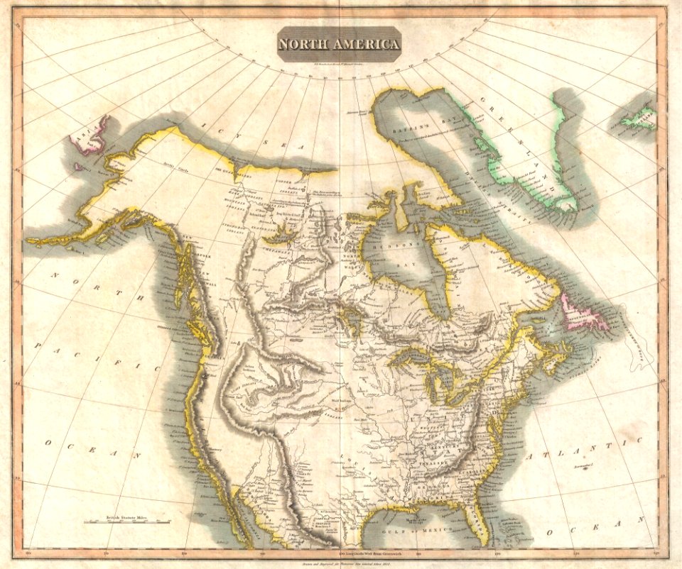
1814 maps of north america
maps by john thomson
english-language maps
facundo melgares
english-language maps
1814 maps
maps by john thomson
1814 maps
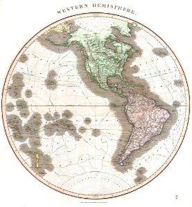
old maps of earth's hemispheres
english-language maps
old maps of the sea of japan
maps by john thomson
english-language maps
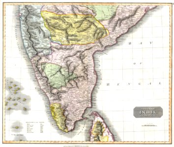
malabar district
maps by john thomson
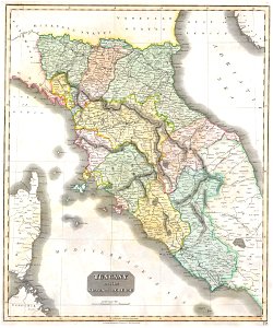
1814 maps of italy
old maps of earth's hemispheres
maps of voyages
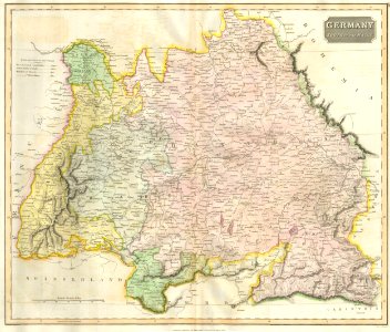
19th-century maps of bavaria
1814 maps
1814 maps
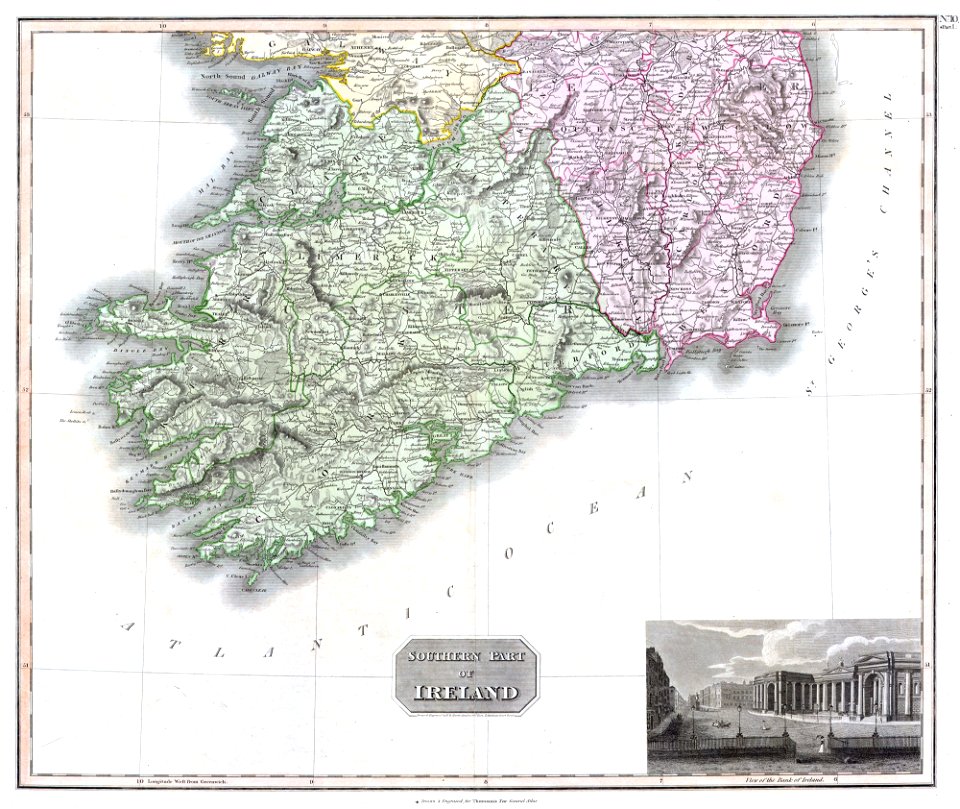
dublin
english-language maps
maps of voyages
maps from the mechanical curator collection
1814 maps
old maps of trentino-south tyrol
english-language maps
old maps of the history of oceania
english-language maps
19th-century maps of the americas
english-language maps
maps in the library of congress
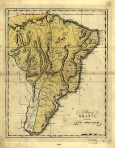
19th-century maps of brazil
maps in the library of congress
19th-century maps of brazil
maps in the library of congress
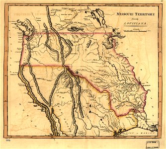
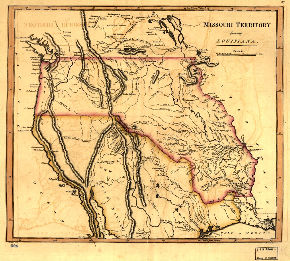
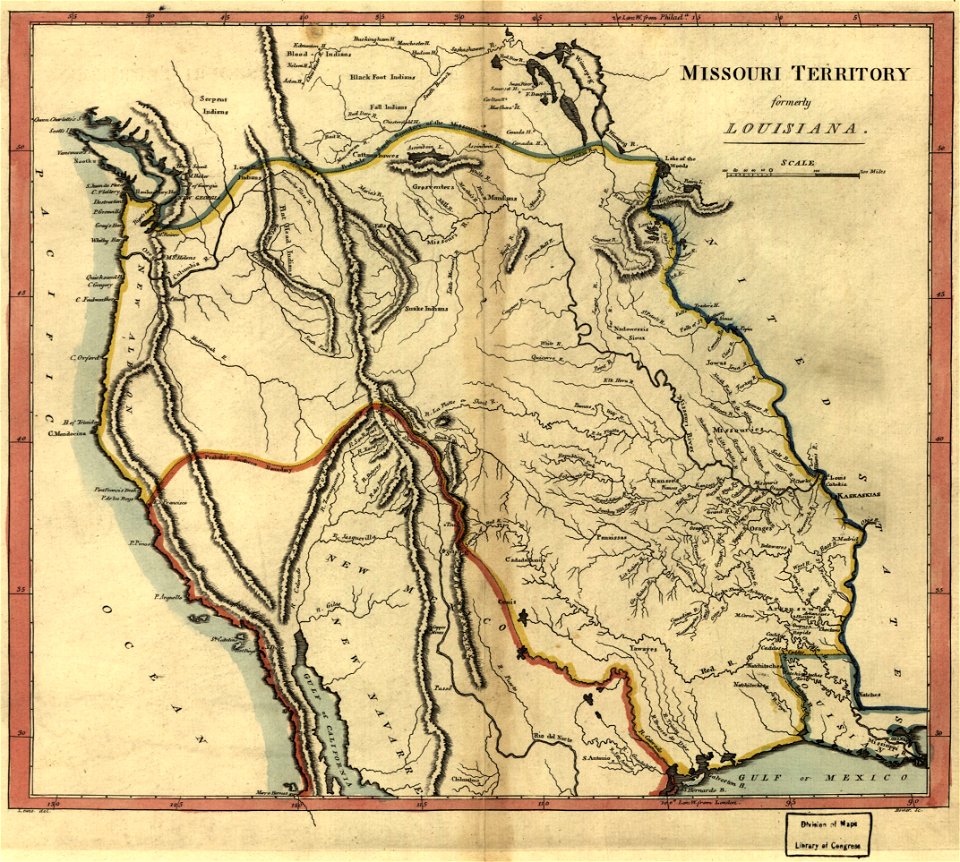
missouri territory
maps by john thomson
old maps of turkey
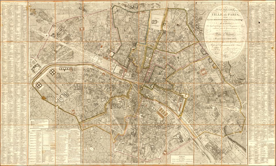
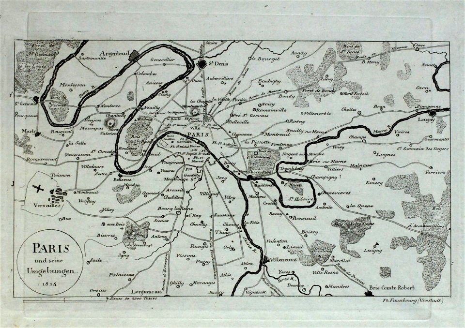
maps of paris from the barry lawrence ruderman antique maps inc.
1814 in paris
maps in the library of congress
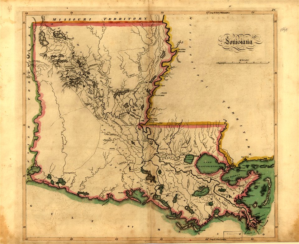
old maps of louisiana
maps in the library of congress
old maps of louisiana
maps in the library of congress
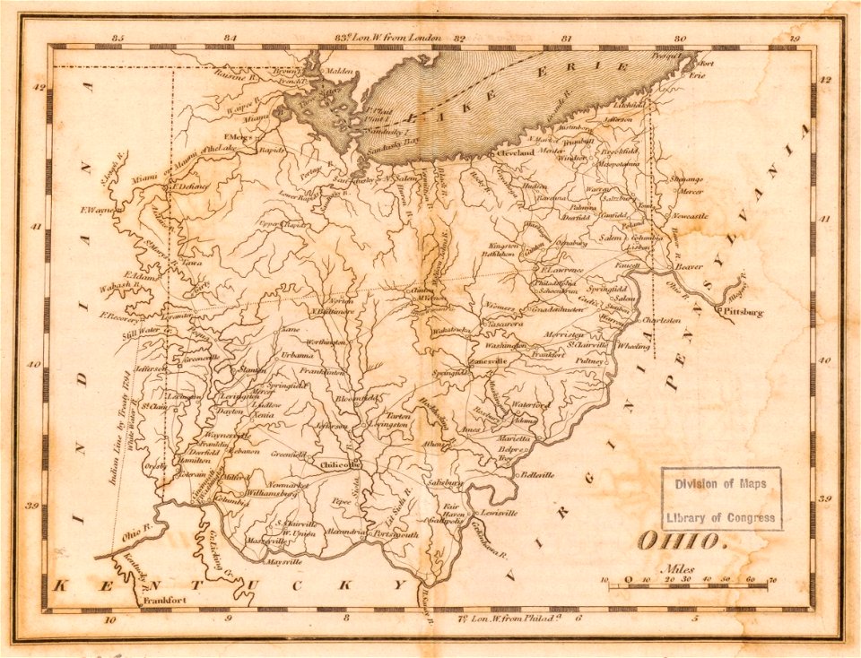
old maps of ohio
maps in the library of congress
1814 maps of ohio
maps in the library of congress
1814 maps
maps in the library of congress
1814 maps
old maps of livorno
maps in the library of congress
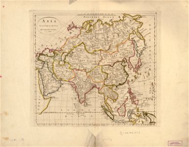
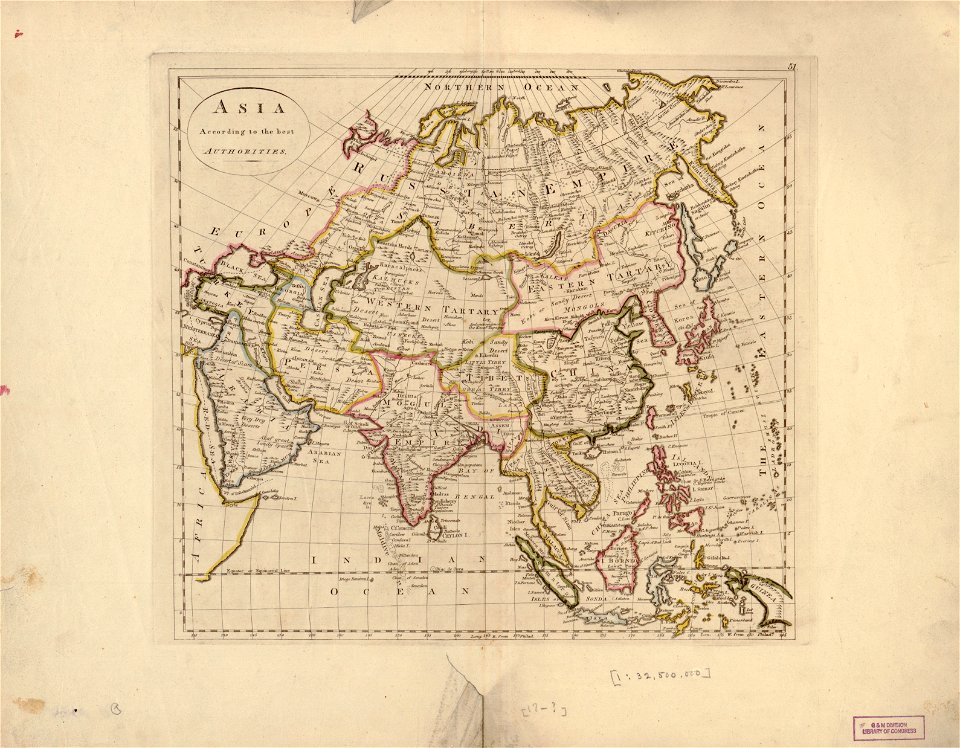
old maps of asia
maps in the library of congress
old maps of delaware
maps in the library of congress
old maps of delaware
maps in the library of congress
old maps of asia
maps in the library of congress
old maps of asia
maps in the library of congress
old maps of asia
maps in the library of congress
old maps of ohio
maps in the library of congress
old maps of ohio
maps in the library of congress
old maps of canada
maps in the library of congress
old maps of canada
maps in the library of congress
old maps of canada
maps in the library of congress
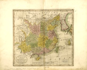
old maps of china
maps in the library of congress
old maps of china
english-language maps
athens
old maps of île-de-france
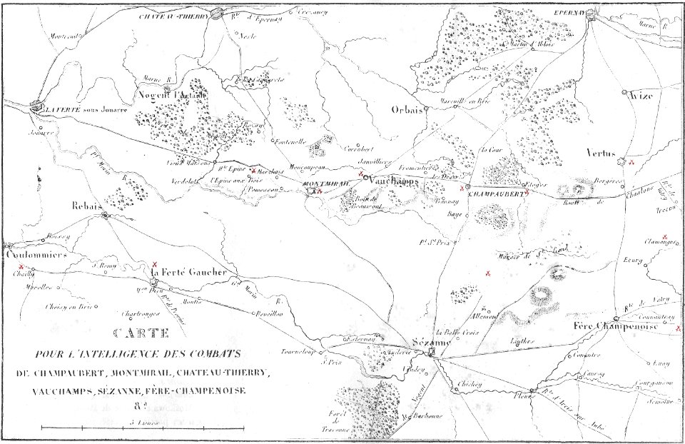
maps of the war of the sixth coalition
montmirail (marne)
printing
1807
south dakota
iowa
fonds ancely - bibliothèque municipale de toulouse - maps
robert batty (artist)
historical images of pyrenees
robert batty (artist)
cornell university library
caricature
maps of reims
berry-au-bac
self-published work
pages with maps
draped columns on pedestals in portrait paintings
attributed portrait paintings
napoleonic wars in 1814
emery walker
jean-baptiste mauzaisse
fougères
caricatures of napoleon i of france
napoleon on elba
russo-turkish war (1877–1878) in art
great eastern crisis (1875–78)
a voyage to abyssinia, and travels into the interior of that country, executed under the orders of the british government in the years 1809 & 1810
john outhett
maps of spain by tomas lopez
history of gipuzkoa
a voyage to abyssinia, and travels into the interior of that country, executed under the orders of the british government in the years 1809 & 1810
john outhett
napoleonic wars in 1814
emery walker
maps from encyclopædia britannica
emery walker
maps from the mechanical curator collection available to georeference
maps from the mechanical curator collection
a voyage to abyssinia, and travels into the interior of that country, executed under the orders of the british government in the years 1809 & 1810
john outhett
prints in the british library
matthew dubourg
a voyage to abyssinia, and travels into the interior of that country, executed under the orders of the british government in the years 1809 & 1810
john outhett
a voyage to abyssinia, and travels into the interior of that country, executed under the orders of the british government in the years 1809 & 1810
john outhett
maps from the mechanical curator collection available to georeference
maps from the mechanical curator collection
den danske hærs historie til nutiden og den norske hærs historie indtil 1814
maps from the mechanical curator collection
den danske hærs historie til nutiden og den norske hærs historie indtil 1814
maps from the mechanical curator collection
maps from the mechanical curator collection available to georeference
maps from the mechanical curator collection
a voyage to abyssinia, and travels into the interior of that country, executed under the orders of the british government in the years 1809 & 1810
john outhett
a voyage to abyssinia, and travels into the interior of that country, executed under the orders of the british government in the years 1809 & 1810
john outhett
den danske hærs historie til nutiden og den norske hærs historie indtil 1814
maps from the mechanical curator collection
historical
history
historical
history
den danske hærs historie til nutiden og den norske hærs historie indtil 1814
maps from the mechanical curator collection
den danske hærs historie til nutiden og den norske hærs historie indtil 1814
maps of battles of sweden
maps from the mechanical curator collection available to georeference
maps from the mechanical curator collection
den danske hærs historie til nutiden og den norske hærs historie indtil 1814
maps from the mechanical curator collection
maps from the mechanical curator collection available to georeference
maps from the mechanical curator collection
maps from the mechanical curator collection available to georeference
maps from the mechanical curator collection
old maps of french guiana
old maps of venezuela
den danske hærs historie til nutiden og den norske hærs historie indtil 1814
maps from the mechanical curator collection
full size ferraris maps of belgium
emmanuel-jean-nepomucène de ghendt
den danske hærs historie til nutiden og den norske hærs historie indtil 1814
old maps of helsingborg
den danske hærs historie til nutiden og den norske hærs historie indtil 1814
old maps of rügen
den danske hærs historie til nutiden og den norske hærs historie indtil 1814
1870s maps of denmark
den danske hærs historie til nutiden og den norske hærs historie indtil 1814
1870s maps of denmark
den danske hærs historie til nutiden og den norske hærs historie indtil 1814
old maps of rügen
historical
history
a voyage to abyssinia, and travels into the interior of that country, executed under the orders of the british government in the years 1809 & 1810
1810 maps of ethiopia
a voyage to abyssinia, and travels into the interior of that country, executed under the orders of the british government in the years 1809 & 1810
1810 maps of ethiopia
maps by edward wright
molyneux globes
die mainufer und ihre nächsten umgebungen
wipfeld
1 - 100 of 107
Next page
/ 2


![A literary party at Sir Joshua Reynolds', James William Edmund Doyle, 1851[1]](https://cdn.creazilla.com/illustrations/10001566600/a-literary-party-at-sir-joshua-reynolds-james-william-edmund-doyle-18511.jpg)